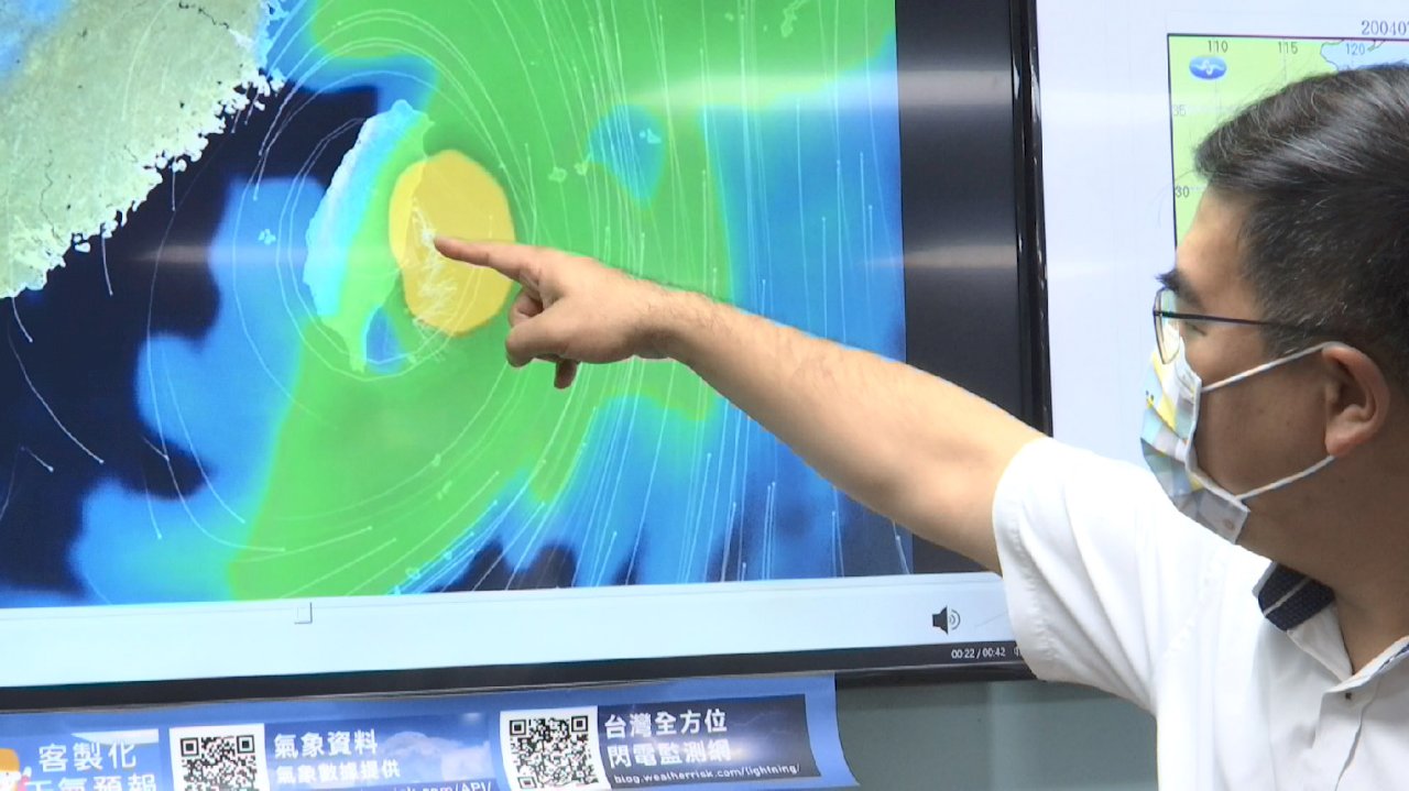
After a long period of fairly calm weather, Taiwan is set to have a run in with a typhoon over the weekend. In certain areas, the weather could start to get rough as early as Friday night. But while the storm is certain to affect Taiwan, forecasters remain uncertain of exactly what kind of path it will take.
As of Friday afternoon, Typhoon Chanthu was still out in the Philippine Sea, some 600km southeast of Taiwan’s southern tip. But the storm is slowly stalking towards Taiwan at a speed of 17km/h, and it will begin to make itself felt in parts of the island as soon as Friday night.
Taiwan’s east coast and southern tip will begin to see rain Friday evening, and the rain will strengthen in the east especially by Saturday. By Sunday, all of Taiwan will see stormy weather.
The only questions that remain are what path the storm will take as it gets closer to Taiwan and whether it could make landfall. Here the models differ. Taiwan’s own model shows the storm just barely skirting the east coast, while models from South Korea and the US Navy show the storm coming ashore somewhere in Taiwan’s south or southeast.
The best thing to do for now is to start preparing for a weekend of wild weather.