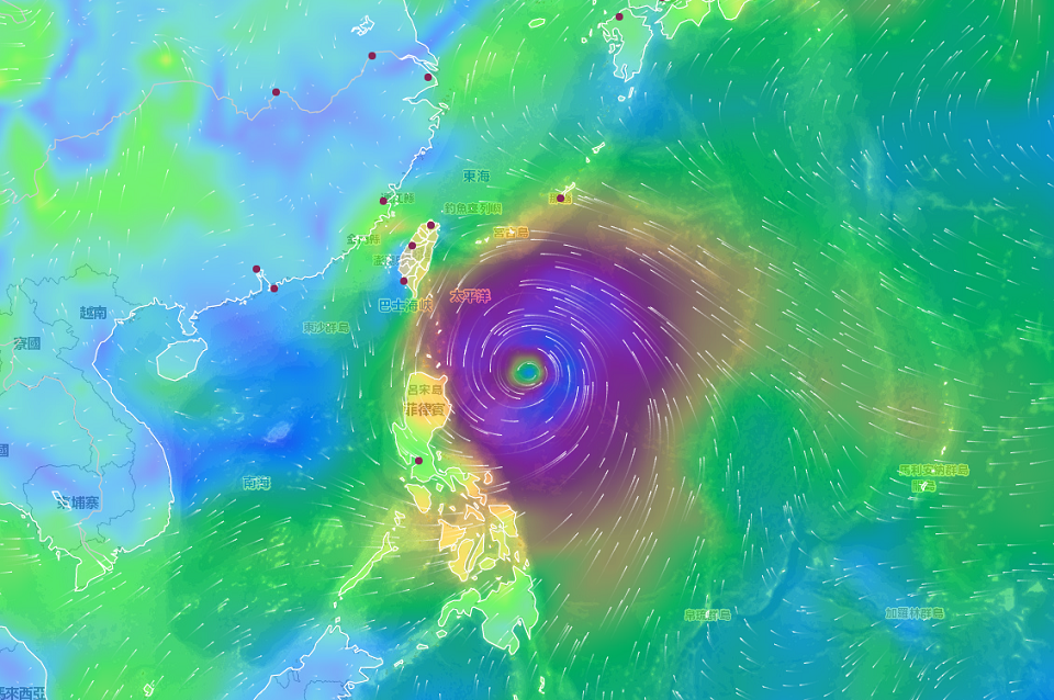
The Central Weather Bureau (CWB) says Typhoon Mawar will become weaker and slower as it approaches Taiwan, delaying the storm’s arrival. The bureau shared its report on Monday, saying Mawar is moving northwest and Taiwan may issue a sea warning from Monday night to Tuesday morning.
Officials predict that Mawar has already reached its peak size and may affect Taiwan from Tuesday to Friday. But they add that the country is unlikely to issue a land warning for the storm.
CWB forecaster Huang En-hung (黃恩鴻) says there’s a high chance that Taiwan will issue a sea warning, but it may be delayed due to the typhoon’s slower pace. Huang adds that Mawar may affect Taiwan for a longer period of time due to its decrease in speed, but that the typhoon should be leaving on Friday.
The CWB says if a sea warning is issued, it will be aimed at the East Coast. It adds that there are already tides up to six meters tall emerging on the East Coast, and areas like the East Coast, the Northeastern Coast of Keelung, and the Southern Hengchun will need to monitor large waves and strong winds.