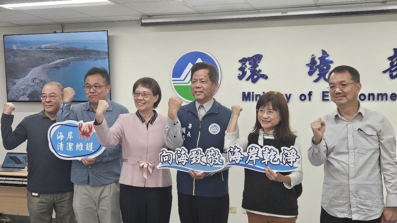
The Environment Ministry announced a major breakthrough in coastal waste identification on Monday, leading the way in Asia. It said that the Environmental Management Administration (EMA) has reduced the processing time for detecting coastal waste locations to just one day while improving accuracy by 50%. This achievement is accomplished by integrating drone technology with AI image recognition to stitch aerial photos together.
Taiwan, with its 1,990-kilometer coastline, faces ongoing waste accumulation due to human activities, topography, and tidal effects. Previously, the ministry utilized drone aerial photography, inspecting two kilometers of coastline and taking about 400 images per flight. Photos would then be manually stitched together to identify areas with coastal waste, a process taking about a week’s time.
By integrating AI image recognition technology, EMA Director General Yen Hsu-ming (顏旭明) says that they have developed an AI system that electronically stitches images and can process 400 images in a day. He adds the system can accurately calculate the area and potential volume of waste and issue reports. This achievement surpasses similar technologies in Japan and South Korea, making Taiwan the leader in Asia.
Last year, the ministry conducted 15 drone missions, covering 13.18 square kilometers and capturing 5,726 images, while identifying 477,630 square meters of waste with over 80% accuracy. A total of 582 metric tons of waste was cleared, including 531 tons left by Typhoon Krathon. This year, the Environment Ministry plans to expand coastal inspections with 30 drone missions scheduled. The AI system will also be enhanced to identify and categorize different types of waste for better management.